Solar near the equator: from daylight to useful electricity
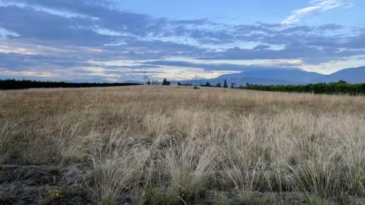
La Lombardia's location near the equator makes sunlight a natural part of the conversation about its future. But “near the equator” and “how much electricity could this site produce?” answer different questions. The first locates the land. The second asks how a particular system would work there over time.
That distinction is useful even for someone who will never design a solar installation. It makes the numbers in an introductory proposal easier to read and the questions easier to frame.
Daylight is a starting point
The U.S. Department of Energy's solar-radiation introduction explains that available sunlight varies with location, time, landscape and weather. It also distinguishes direct sunlight from light scattered by the atmosphere. Both belong in understanding the resource.
For a reader, the practical lesson is to look beyond a sunny photograph. Ask what period the underlying data cover and what they describe. A regional resource map, a site measurement and a calculated production estimate have different purposes. Knowing which one is in front of you helps prevent an attractive illustration from doing the work of evidence.
Power and energy tell different stories
The U.S. Energy Information Administration distinguishes power, expressed in watts, from energy over time, expressed in watt-hours. A kilowatt is 1,000 watts; a kilowatt-hour is the energy associated with one kilowatt maintained for one hour.
An everyday example makes this easier to picture. A device drawing one kilowatt for two hours uses two kilowatt-hours. That is a unit illustration, not a solar production forecast. An installation's capacity figure cannot simply be read as its annual output.
When looking at a proposal, keep the units attached to every number. If one figure describes equipment and another describes a year of production, they should have different labels. A comparison becomes much clearer when those labels remain visible.
Follow the estimate through the system
Photovoltaic cells convert sunlight into electricity. A project estimate then needs to describe the system being proposed, rather than treating the sunlight figure as electricity already delivered.
Ask where the reported energy is being counted. Is it a modeled result from the installation, or an estimate of what would be delivered after the relevant losses? What equipment and layout assumptions are included? If a later design changes those assumptions, which figures would need to be updated?
These are reading questions, not a demand that every early introduction contain a finished engineering study. A preliminary estimate can be useful when it is clearly identified and its limits are understandable.
Bring the geography back to the place
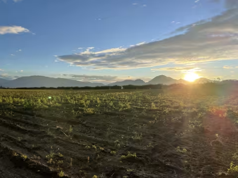
At La Lombardia, the family's description includes an Andean setting in Malchinguí and an approximate elevation of 2,600 metres. That gives the solar discussion a real location. It does not supply a measured resource series, a selected design or an established annual output.
The interesting next step is to connect the setting with information that can support a decision. Which data would a specialist use first? What would a visit need to establish? What would make the idea worth developing further?
Explore the solar opportunity to see the land and the family's invitation. Near the equator is where the question begins; a well-explained assessment is how we would learn more.